DAY 4: BAROG
– RAMPUR (212 KM)
Destination: Rampur,
Himachal
1.
I had decided to wake up early to do some
sunrise photo shots as we were now in the hilly terrain. Accordingly the alarm
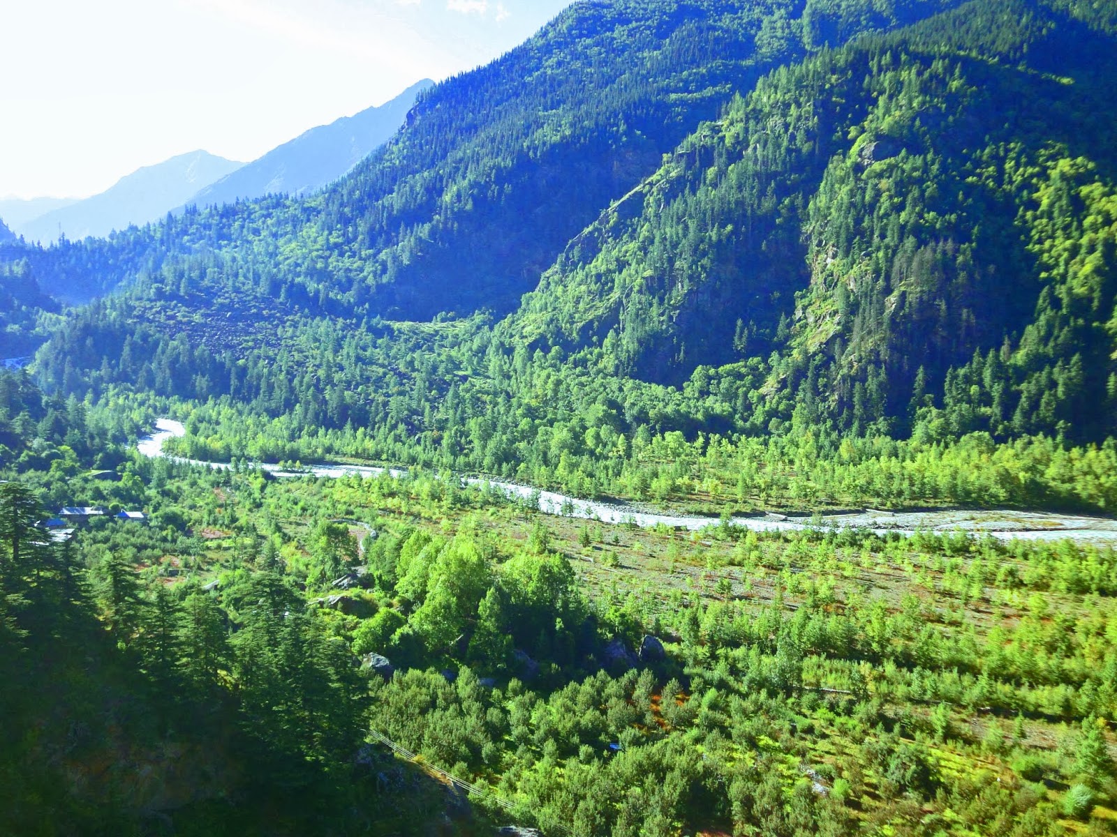
did go up and I was up by 0700 hrs to see if I could catch some sunrise shots.
Though i was late yet the sun was not totally out and I seriously regretted the
absence of a DSLR, the digital camera just cannot do justice to the beauty of
nature.Anyways clicked some few pics of the fog rising out of the solan valley.
2.
Soon it was time to prepare for the day with the
destination being Rampur. As was customary cleaned the car windows properly and
had a thorough look under the bonnet as to the condition within and satisfied
that all was ok decided to warm up the car and load up the luggage. Soon we
were ready to roll. Our path took us to Khandaghat and then onwards towards
Shilom Bagh, Kufri, Fagu, Theog, Narkhanda, Kingal and finally Rampur.
3.
We were now travelling on the NH22, which
originated in Ambala .After it enters Himachal it runs through Shimla till the check
post of Sumdo from where it turns right towards the village of Kaurik near the
Chinese border which is around 40 km away. The village of Kaurik has since been
abandoned and is now only used by the BRO personnel. There is some discrepancy
on whether the NH 22 is also known historically as the Hindustan Tibet Highway for near the the
town of Khab just before the Line Of Actual Control the road runs for a short
distance to the village Namgia and then on to the Shipki La pass , where it
enters the Chinese territory. I actually could not find two separate roads and
in my opinion both are one and the same.
4.
Coming back to the present day of the travel we
reached Khandaghat from where we turned right towards the town of Chail .The
left from Khandaghat goes towards Shimla which is 30 km far. The fog was slowly
lifting up from the valley and it was a mesmerizing view and we really were in
high spirits on this stage of the journey.
5.
Breakfast was simple consisting of parathas with
curd and hot tea sitting in the sun. Now Khandagahat was 18 km from Barog and
beyond Khandagaht we made our first mistake of the route, there is a place
called Challanda from where we are supposed to take a sharp let towards Kufri
however somehow we were not able to see any board detailing this and continued
straight and reached the town of Chail by 1150 hrs.On enquiry as to the route
to Kufri I was again pointed back exactly to the direction that I had come from
and this caused a lot of confusion and I was perplexed. Initially I thought
that I was being taken for a ride by the locals but then eventually I figured
out that probably there was an intersection which I might have missed.
6.
So any way I retraced my path backwards looking
for some sign board which would tell me the route to Kufri.Eventually after 08 km
I was back at the intersection at a place called Challanda.The next way point
was Shilom Bagh and I simply loved this name for it sounded so good to say
aloud.Shilom Bagh is basically a small town that has some good resorts to stay
and one can get away from the maddening crowd of Shimla and yet be close to all
the action. I recommend the Toshali Royal View Resort.Shilon Bagh is 57 km from
Barog.
7.
By this time i was seeing vehicle after
vehicle laden with apples fresh from the orchids high up in the mountains being transported
to the main distribution centers for onward transmission to the rest of the
country .Kufri was reached 25 km later and now we were just engulfed by
canopies of firs, birches and pines as tree after tree stood shoulder to
shoulder like a great army waiting for some kind of a directive. It was a
totally mesmerizing sight to see and the camera just could not do justice to what
the eyes were seeing and words cannot even begin to make someone understand the
feelings that were coursing through one.
8.
From Kufri our next target was Fagu and thereafter
Theog.Pre Kufri we encountered heavy rains and this was my first experience of
driving through a heavy downpour through dense woods with the mountain streams
flowing all over the road. From Fagu which we reached by 1330 hrs we cut across
in to the NH-22 which had come all the way from Shimla or we had left the NH-22
at Khandaghat when we took the state highway towards Chail.
9.
Theog was reached 30 minutes later and the
heavy downpour had ended by that time and the odometer showed 111 km covered in
five and half hours. So basically now one can grasp how the the time taken to
cover small distances has considerably increased. As a tourist byte Kufri is
long famous for skiing activities while Fagu offers the first views of the
Himalayan Ranges. We filled up fuel at Theog for now the availability of
fuelling stations would start reducing as we climber deeper towards the upper
reaches of Himachal.
10.
Our next way point was Narkhanda which was
is 33 km from Theog and is famous for apple Orchads.It is situated at 2708 meters
above sea level and is surrounded by the Shivalik Ranges and one can see the Hatu
peak (11000 ft) closeby.The prime apple belt of Thanedar is close to Narkhanda.Lunch
was done at a small outlet on a rainy afternoon and thereafter we proceeded to
purchase some Mp3 cds for as a mistake I has not carried sufficient collection
with me. After a break o an hour we started for our destination Rampur. Rampur
is situated on the banks of the mighty river Sutlej and there is a specific point
from where one catches the first glimpse of this mighty river.
11.
The river Sutlej is the longest of the five
mighty rivers of north India. The source of the Sutlej is Lake Rakshastal in Tibet.
From there she flows westwards for 260 km and then enters India at the Shipki La
pass and finally meets the river Beas and thereafter enters Pakistan after about
360 km from Himachal.Historically it is said that the Sutlej was an important tributory of the legendary Saraswati River. We had our customary photo shoot when we
first saw this mighty river and thereafter she became our constant companion for
the days to come.
12.
Rampur was reached by 1830 hrs and just
before entering the town we visited the Shri Maharishi Mardini Mahalakshmi
Temple while the aarti had just begun .The room was average and comfortable if I
may say so but the lighting could have been improved. The food was hot and simple;
a relaxed affair .The only down point was that there was no payment by card
which I feel should be rectified .We went for a walk to the nearby market and
the town main road just to relax ourselves .Simple town with bustling people is
my opinion.
13.
Final Odometer read as Barog
– 56309 : Rampur -56521
 |
| SILENT SENTINELS |
 |
| FOR INFORMATION |
 |
| ON THE NH 22 |
 |
| CURVE ALONG |
 |
| PRETTY HIMACHAL |
 |
| ON THE WAY TO KUFRI |
 |
| FOREST GLADES |
 |
| DIVERSION TO KUFRI |
 |
| PHOTO SHOOTS |
 |
| SHILOM BAGH |
 |
| APPLE ORCHARDS |
 |
| TO RAMPUR |
 |
| ROOM VIEW |
 |
| SHILOM BAGH |
 |
| BABOO AND SUTLEJ |
 |
| AND THE FOG CREPT IN |
 |
| AT NARKANDA |
 |
| PURE |
 |
| HE PROJECTS |
 |
| RAMPUR ON THE BANKS OF SUTLEJ |
 |
| LETS GO |
 |
| LOVELY SOLAN |
 |
| MAHARISHI MARDINI MAHALAKSHMI TEMPLE |
 |
| FIRST VIEW OF THE MIGHTY SUTLEJ |
 |
| BLESSINGS ARE WHAT WE NEED |
 |
| POSING ALONG |
 |
| BY THE SUTLEJ |
 |
| ITS MOMENT |




.JPG)
.JPG)


